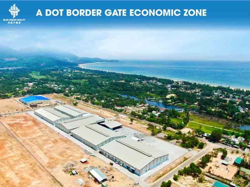
A Dot Border Gate Economic Zone – Thua Thien Hue Province
A Dot Border Gate Economic Zone – Thua Thien Hue Province – Area: 10,184 hectares – Term: Until 2058
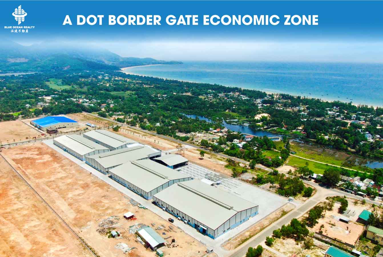
GENERAL INTRODUCTION
On May 22, 2008, the Prime Minister issued Decision No. 64/2008/QD-TTg on the establishment and operational regulations of A Dot Border Gate Economic Zone, located in Thua Thien Hue Province.
A Dot Border Gate Economic Zone is situated adjacent to the Vietnam–Laos border, in A Luoi District, Thua Thien Hue Province, Central Vietnam. It was established in June 2008, with A Dot Border Gate as its key component. The zone covers a total area of 101.84 square kilometers (equivalent to 10,184 hectares).
The zone comprises seven functional subzones:
Huong Lam Urban Area
Huong Lam Industrial Park
A Dot Border Gate Area
A Dot Central Urban Area
A Roang Ecotourism and Urban Area
Agricultural and Forestry Development & Reserve Area (non-concentrated construction)
Conservation Area with Construction Restrictions
GEOGRAPHICAL LOCATION
The master plan includes the communes of A Dot, Huong Lam, and part of A Roang in A Luoi District, totaling approximately 10,184 hectares. The geographical boundaries are as follows:
- North: Adjacent to Huong Phong Commune, A Luoi District
- South: Bordering Ka Lum District, Sekong Province, Lao PDR
- East: Bordering Huong Nguyen Commune and the remaining area of A Roang Commune
- West: Adjacent to Dong Son Commune, A Luoi District
CHARACTERISTICS
A Dot Border Gate Economic Zone is a comprehensive, multi-sector zone integrating trade, services, tourism, industry, urban development, and agriculture-forestry. Its primary development orientation follows the A Sap River valley across A Dot and Huong Lam Communes. A Dot Commune is planned for upgrade to Grade V urban standard.
INFRASTRUCTURE
Internal Transportation
Three main urban routes (34 meters wide), inter-area roads (27 meters), local roads (20.5–22.5 meters), and farm roads (7.5 meters)
Five main intersections with Ho Chi Minh Road and the border gate access road, all at-grade with traffic islands
Three new bridges across the A Sap River; upgrade of old culverts into bridges
One city-level and two regional-level parking areas
Public Transport
Bus routes connecting the economic zone to A Luoi town, Hue City, and Chan May – Lang Co urban area
UTILITIES
Water Supply
Initial demand: 7,480 cubic meters per day; Long-term: 7,480 cubic meters per day
Sources: Surface water from A Sap and Bo Rivers
Water Plant No.1: Capacity of 8,000 cubic meters/day by 2020 and 12,000 cubic meters/day by 2030 (located in A Dot)
Water Plant No.2: Capacity of 1,000 cubic meters/day by 2020 and 2030 (in A Roang, sourcing from A Roang Hydropower reservoir)
Power Supply
Short term: Power from A Roang Hydropower Plant and national grid via Bot Do intermediate substation
Long term: New 110 kV substation near Huong Lam Industrial Park (41 MVA total capacity)
35 kV line from A Roang Hydropower to Bot Do
Upgrade 15 kV line to 22 kV and build new 22 kV line to the zone
Underground cables may be used in central and border areas
Full lighting coverage on all main urban roads
DRAINAGE AND WASTE MANAGEMENT
Wastewater
Separate drainage for high-density residential and industrial areas; combined system elsewhere
Treatment Plants:
M1: 500–700 cubic meters/day
M2: 700–1,500 cubic meters/day
M3 (industrial): 1,500–2,300 cubic meters/day
Decentralized treatment for eco-tourism and independent residential clusters
Pre-treatment required for industrial wastewater before centralized processing
Solid Waste
Initial volume: approximately 50 tons/day; Long-term: approximately 79 tons/day
Landfills: 1.05 hectares in Hong Thuong; approximately 2 hectares in southwestern A Roang
Solid waste treatment area: approximately 15–20 hectares in Dong Son
Phase 1: Sanitary landfilling; Long term: Composting plant
TELECOMMUNICATIONS
Upgrade 3 existing switching stations (3,000–5,000 subscribers)
Build central switching station with capacity for 15,000 subscribers
Expand optical fiber network along Ho Chi Minh Road
FUNCTIONAL SUBZONES
Huong Lam Urban Area
Gateway from A Luoi with mixed-use residential and service development
Area: approximately 110 hectares
Population: 4,500–5,000
Huong Lam Industrial Park
Focus on agro-forestry processing, building materials, leather, textile and other industries
Area: approximately 140 hectares
A Dot Border Gate Area
Includes customs control and non-tariff trade zone. Planned upgrade to primary border gate
Area: approximately 70 hectares
A Dot Central Urban Area
Main administrative, commercial and residential center of the economic zone
Area: approximately 410 hectares
Population: 9,500–10,500
A Roang Ecotourism and Urban Area
Includes existing housing and eco-tourism development linked to Sao La Conservation Buffer Zone
Area: approximately 230 hectares
Population: 4,000–4,500
Agricultural and Forestry Development and Reserve Area
Decentralized farm-based agricultural development zone
Area: 800 hectares by 2020; 1,530 hectares by 2030
Conservation Area with Construction Restrictions
Includes protection forests and restricted zones along Bo and A Sap river sources and the border belt
Area: approximately 3,923 hectares
(Note: all information above is for reference only. Actual information will be calculated according to the current time)
💠Learn more about us:
—
Your trusted partner in Vietnam Real Estate, Industrial Parks, and Invest Vietnam.
Stay Connected:
- Fanpage: blueoceanrealtyvn
- Youtube: BlueOceanRealty , @batdongsanbor , @blueoceanrealtyvietnam
- Instagram: blueoceanrealtyvn
- Tiktok: @bortintuc
📲 Hotline/ Zalo: +84888089696
—